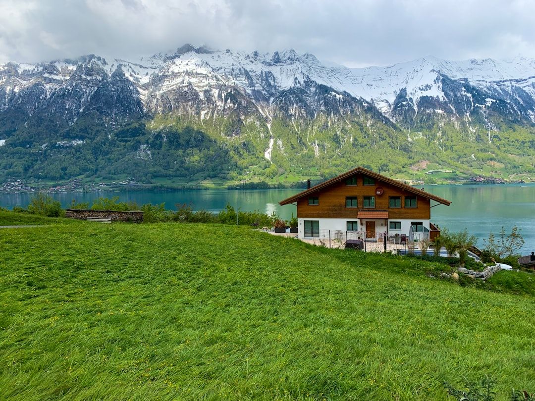
Switzerland has the most precisely engineered trail system in the world. Understanding it makes independent mountain walking there unusually straightforward.
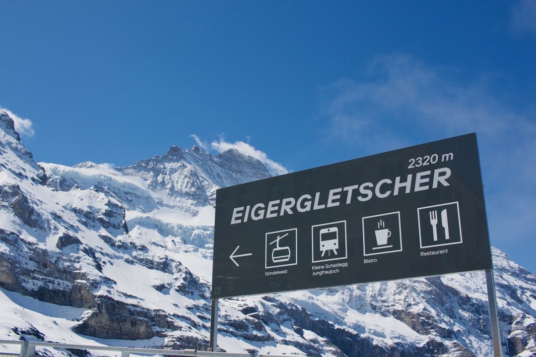
The signposts
Yellow signs give walking times, not distances, calculated to a national standard — and they are accurate to within a few minutes for an average walker.
The grading is in the markings:
Yellow diamond — easy walking path, suitable for anyone.
White-red-white — mountain path, requiring sure footing and a head for heights in places.
White-blue-white — alpine route, which may involve glacier travel, snowfields or climbing, and which needs equipment and skills.
These are not suggestions. A white-blue-white route is a mountaineering objective.
The huts
SAC huts — Swiss Alpine Club — provide dormitory beds and meals at altitude, so you carry a daypack.
Booking is required in summer. Members pay less, and reciprocal agreements mean membership of any alpine club — Austrian, German, Italian, British — usually gets the reduced rate.
Bring a sleeping bag liner; most huts require one.
The routes
The Haute Route, Chamonix to Zermatt — about twelve days, multiple high passes, substantial daily ascent. The walker's version is non-technical but sustained; the ski version in spring is a mountaineering undertaking.
The Tour du Mont Blanc — eleven days through France, Italy and Switzerland, the most popular long route in the Alps, with huts booked months ahead.
The Via Alpina, crossing the country.
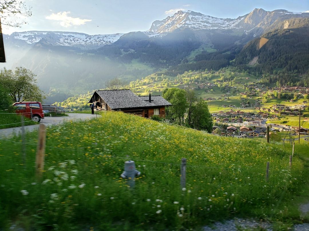
The Eiger Trail and the Jungfrau region day walks, with cable cars removing the ascent.
The Aletsch Glacier panorama route, above the largest glacier in the Alps.
Beyond walking
Via ferrata — protected climbing routes with fixed cables, widespread and graded. Equipment rentable locally.
Canyoning in the Bernese Oberland and Ticino.
Paragliding from Interlaken, which has some of the most reliable conditions in Europe.
Ski touring from spring, using the same hut network.
Climbing, with the whole spectrum from bolted sport crags to the classic north faces.
Cutting the cost
| Item | Approach |
|---|---|
| Food | Coop and Migros, and their cheap self-service restaurants |
| Beds | SAC huts, campsites, mountain dormitories |
| Transport | Half Fare Card if travelling moderately |
| Water | Village fountains, excellent unless marked otherwise |
The Half Fare Card gives 50% off most trains, buses, boats and many mountain railways for a month, and frequently beats a full travel pass because you pay half only for journeys you actually make.
Price your route before buying either.
The high excursions
Jungfraujoch is the marketed one and among the most expensive excursions in Europe. Schilthorn, Gornergrat and Mount Pilatus give comparable high-alpine views for considerably less.
Whichever you choose, go on a clear day — webcams for all the summits are published, so check them that morning.
Practical
Season: late June to September for high routes, with snow on passes into July.
Rescue may be charged to the individual — alpine club membership frequently includes cover.
Weather changes fast at altitude; MeteoSwiss is reliable and detailed.